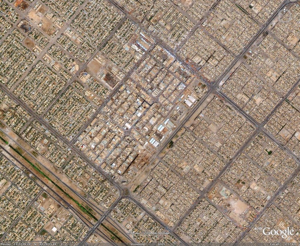
The image here is just a small section of Baghdad. This section is what is refered to as Sadr City. I noticed that Google Earth updated their imagery to 2006 images of the city. I wish they would give us the opportunity to layer the years. In so doing you could see the transformation of Baghdad from a city of parks, soccer fields, pools, golf courses, and jammed city streets, to a wasteland of bombed out buildings, acres of single-wide moble homes for contractors, and zig-zag paterned streets around the Green Zone. If you spent time flying over the city early on in Google Earth it wasn't a shining city by any means, but now it looks more and more like Mogadishu
No comments:
Post a Comment